
Photo Gallery
PG1: School buildings,interiors & landscapes

Seafield Park,Fareham, Hants.
The 1872 house

Seafield Park
Ca. 1903. The Engineering College

Seafield Park
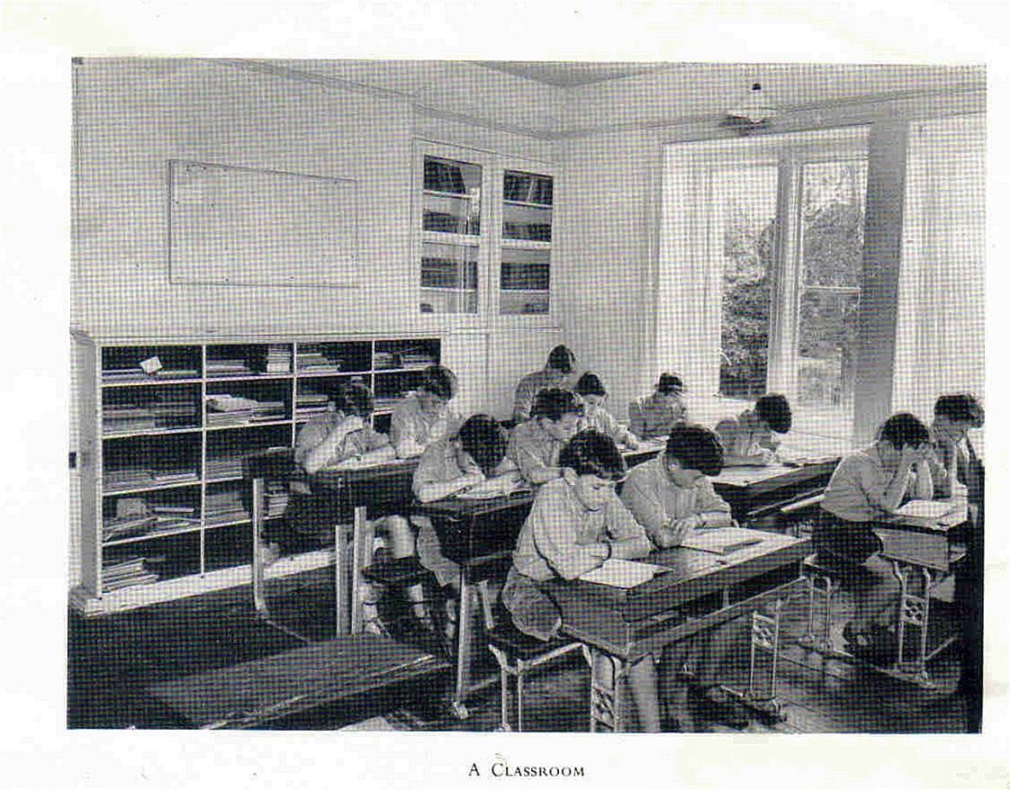
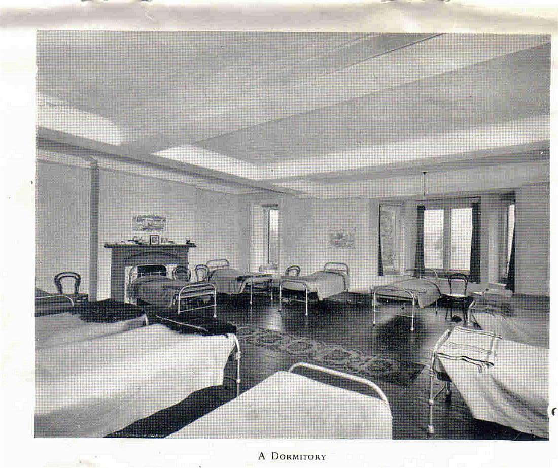
Classrooms and dormitories.Ca.1926/7

Seafied Park , Fareham: Aerial photo
Taken when the school was the Naval Air Signal School, during and after World War II

A Classroom
Seafield Park, Fareham. Prior to 1939
")
Endsleigh
The house viewed from the River Tamar, from Humphrey Repton's Red book. (Picture provided by Colin Browning)
")
Endsleigh - 1831
Charmingly named as Endsleigh cottage ! (Picture provided by Tony Potts)
 (Picture provided by Colin Browning)")
Endsleigh
The Upper terrace - Childrens garden from the designer Humphrey Repton's planning book ( The Red book) (Picture provided by Colin Browning)

Endsleigh Hotel - 2010
Contributed by Tony Potts

Endsleigh - The back of the house
Door into the kitchen area and the top row of windows were to the dormitories. The front door is to the right. 4th July 2016. Mini reunion - Tony Potts and Jeremy Varcoe.

Endsleigh - 4th July 2016
The front door to the Endsleigh hotel Mini reunion - Jeremy Varcoe & Tony Potts

Endsleigh - 4th July 2016
The formal gardens Mini reunion - Jeremy Varcoe & Tony Potts
")
Newells school. Lower beeding.
The South Front (Contributed by Hugh Weir)

Newells school
Southern facade Contributed by R.Chapple

Newells
Southern Facade Contributed by R.Chapple

Newells school
Front entrance Contributed by R.Chapple

Newells school
Front entrance Contributed by R.Chapple

Newells school
Front entrance
")
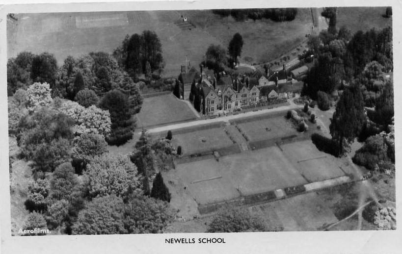
Newells school air photo
Contributed by L.Rouse (Handcross park archive)
")
Newells school air photo
Conributed by L.Rouse (Handcross park archive)
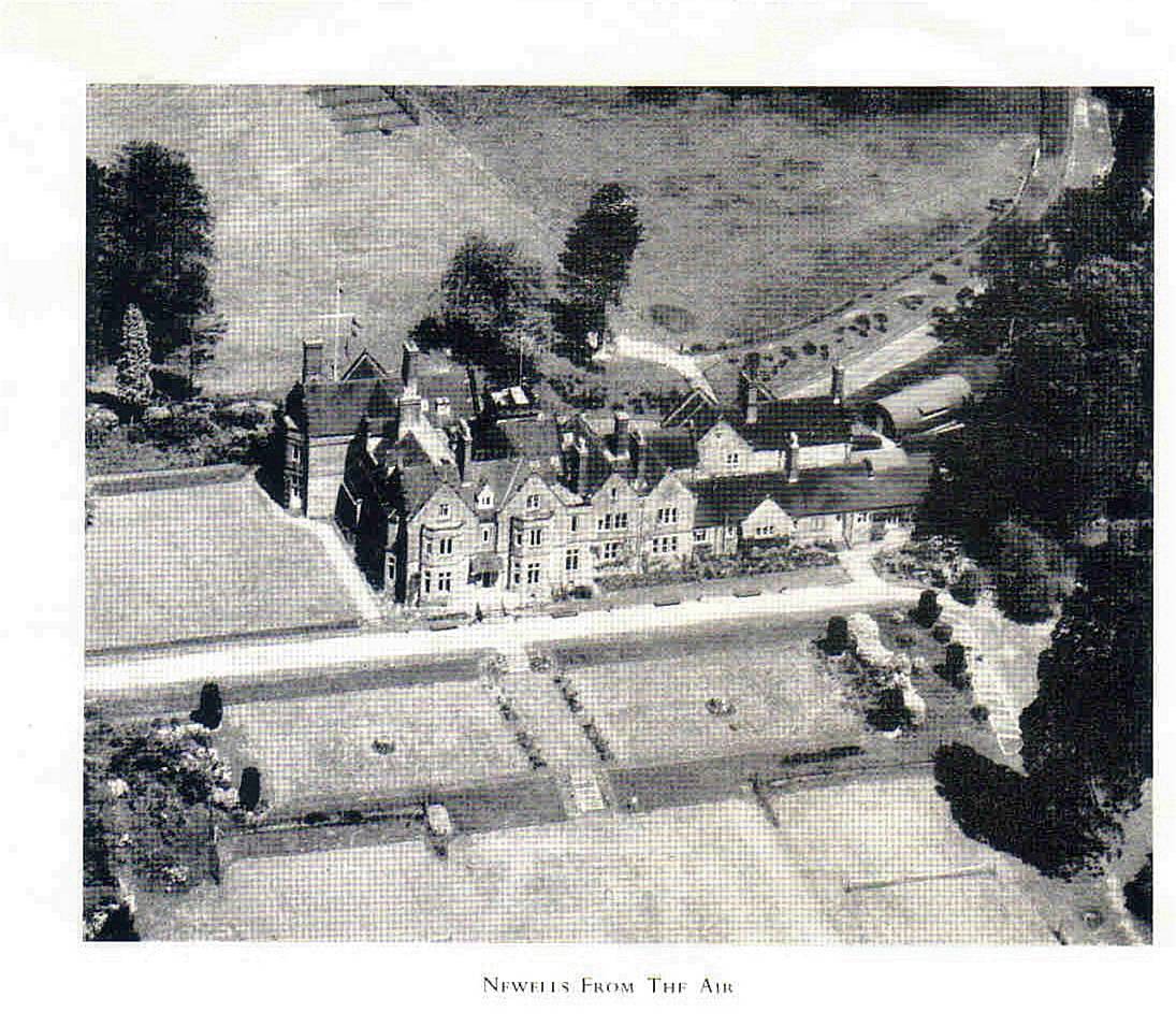
School Postcard

School Postcard

Newells landscape
From Cricket pitch. Contributed by Tim McMeeken.

Air Photo 1 - 1949
Newells school, Lower Beeding. Southern facing frontage

Air photo 3 -1949
Pronger's corner, Newells school and Newells rough, Lower Beeding 1949

Air photo 2 - 1949
Newells school, Lower beeding. Northern facing frontage

Air photo 4 - 1949
Newells school, Newells rough and environs, Lower Beeding

Presentation note to Newells School Aerial Photo - 1967
Note to aerial photo presented to Chris Blakeway in December 1967 from Headmaster Peter Hope-Lang. I recently had to return to the UK from Australia to clear and sell my parents home following my Father's death in June 2014. I found a number of old school photos in a trunk in a corner of the barn.

Newells School Aerial Photo - 1967
Presented to Chris Blakeway on leaving Newells in December 1967. I recently had to return to the UK from Australia to clear and sell my parents home following my Father's death in June 2014. I found a number of old school photos in a trunk in a corner of the barn.
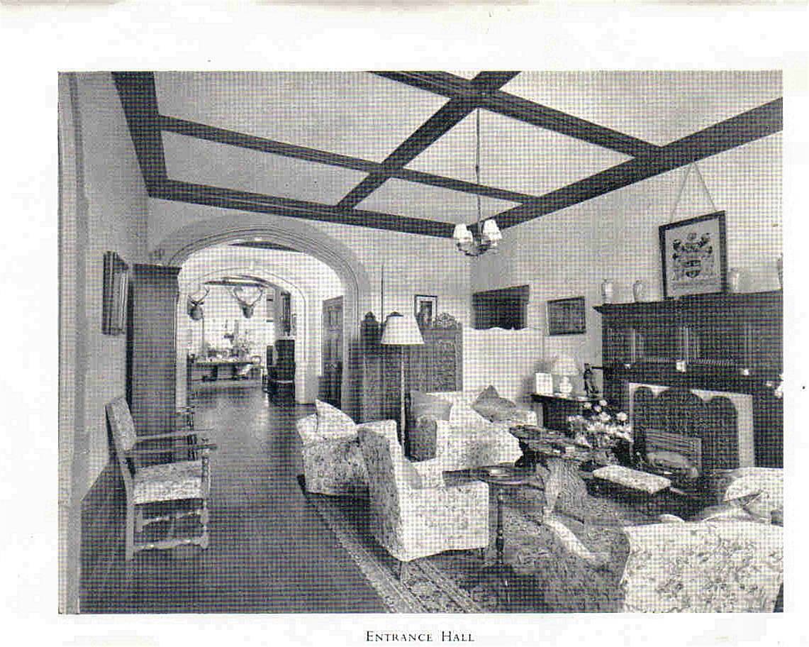
The Entrance hall

Newells School Prospectus
Note the term fees ! Provided by Steve Horner
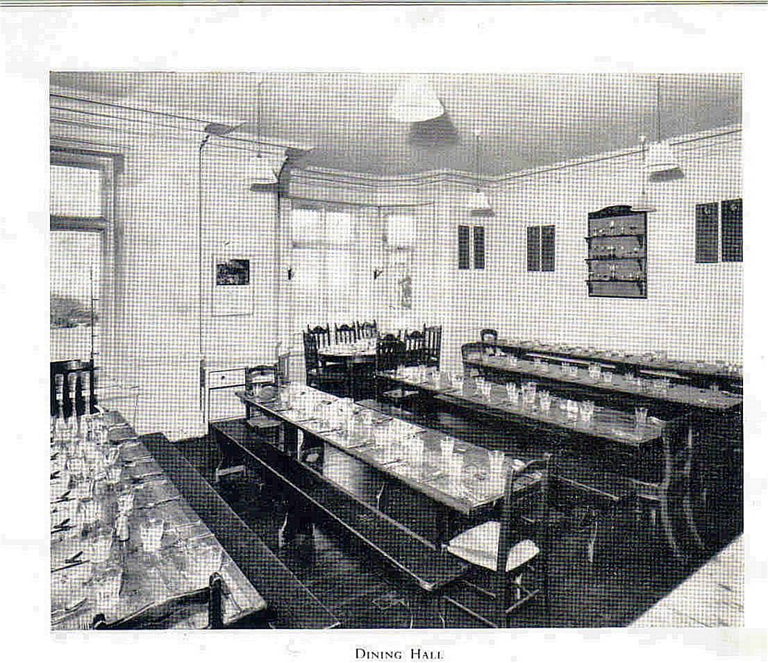
The Dining room
The Common room
The Chapel
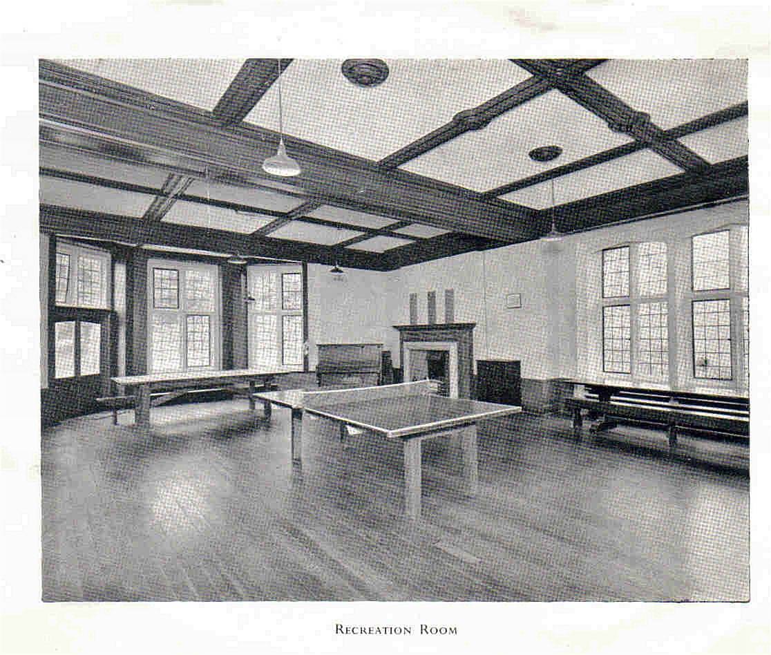
The Assembly hall/Playroom
A Classroom
A Dormitory
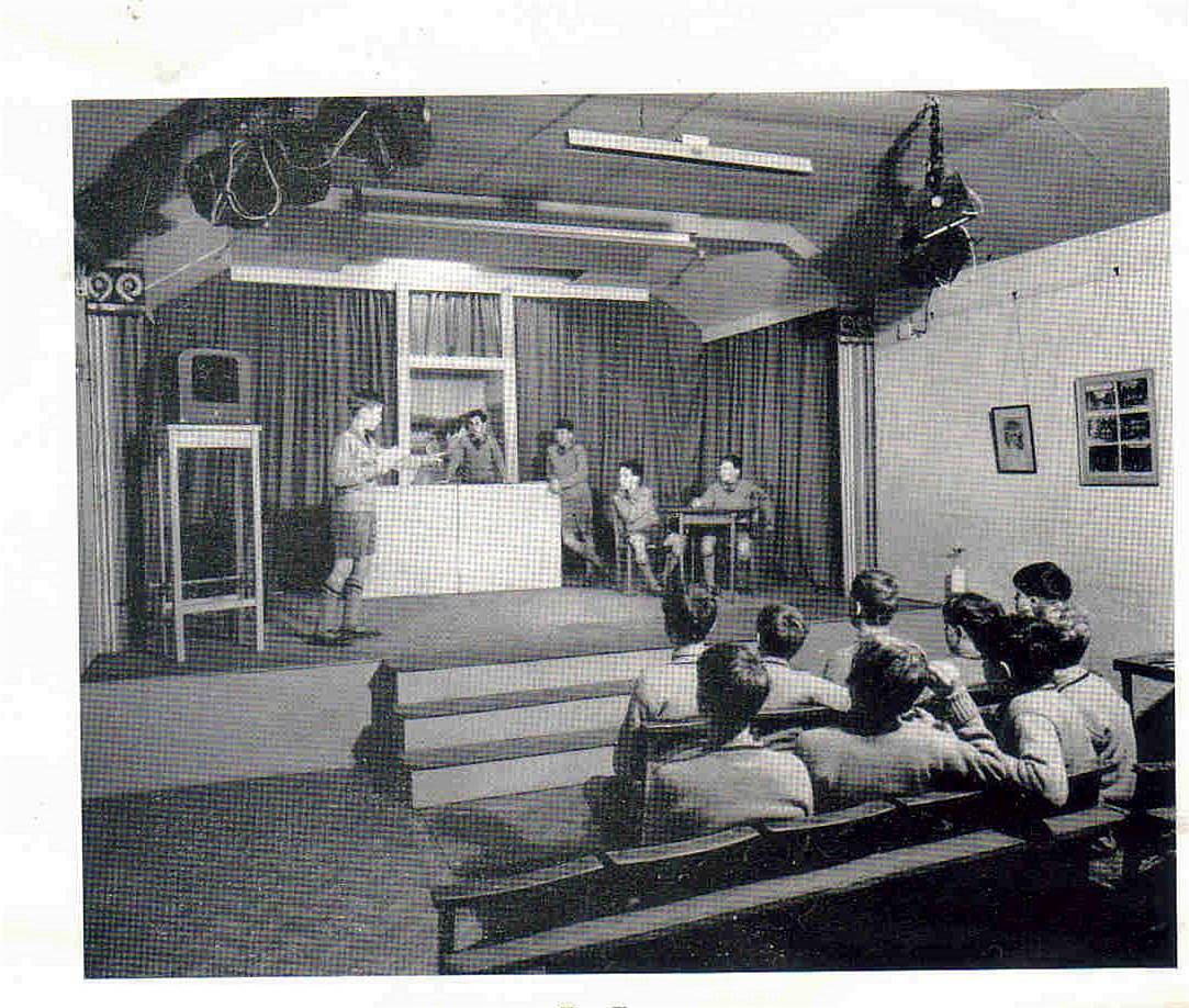
The Theatre

Handcross Park School
Transferred from Handcross Park web site

Handcross Park school panorama
Transferred from Handcross Park web site

The Big Beech tree - 2012
Sadly blown down in a recent storm Contributed by P.Ede

The swimming pool - 2012
Overgrown and forgotten Contributed by P Ede

Newells grounds - 2012
General view Contributed by P.Ede

Newells grounds - 2012
General view Contributed by P.Ede

Newells 2012
Newells 2012 The new house, viewed from the South. Photo kindly provided by the owner Mr.Roy Goddard.

The Lodge - June 2019
The only building left and in its original form.
")
Newells 1947
Western facade Photo by Mr Colin mansfield ( Teaching Staff)
 ( Union Jack on the tower askew !)")
Newells 1947
Main entrance Photo by Mr Colin Mansfield ( Teaching Staff) ( Union Jack on the tower askew !)
")
Newells 1947
Southern facade Photo by Mr Colin Mansfield (Teaching staff)
")
Newells 1947
Southern facade and lower terrace Photo by Mr Colin Mansfield (Teaching staff)

Newells Aerial photo 1. April 2020
Newells is in the centre of the picture with the drive, as it was, circling up to the right. The buildings furthest right are the old Stable block. There is a new bungalow in what was the kitchen garden. Across the light brown area, which were the playing fields, you can still see the remains of the swimming pool.
 that used to run across the front of the school and end at the farm.")
Newells aerial photo 2. April 2020
A broader landscape than the previous picture. You can see Newells pond clearly marked. The Scrase-Dickens Newells farm to the left and below the pond. The drive going down to the house from the Horsham road. The main path can be seen ( lower right ) that used to run across the front of the school and end at the farm.

OS Map OL34
Shows Newells Rough in the centre, playing fields, the house and outbuildings with the drive leading to the A381. Newells Farm and Newells Pond.

Stable block
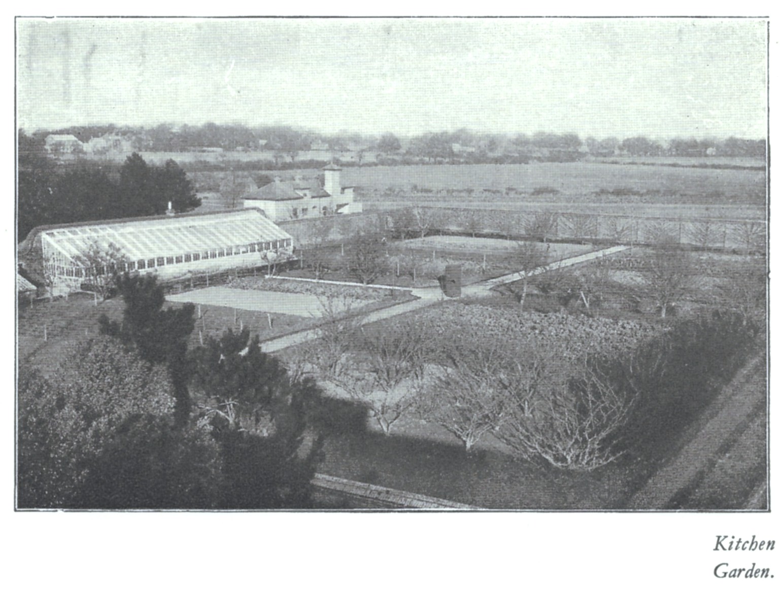
Kitchen garden, Stable block and generator shed
Generator shed to the left")
Stable block
Stable block showing Kitchen garden (Top right)Generator shed to the left

Newells school 1949
Main school building with sports field in foreground and lower terrace with Newells rough at top of picture

November 13th 2024
The Cricket pavilion used to be by this tree

Newells Pool
The remains of the swimming pool
November 2024

Newells
Newells school

Seafeild Park
The chapel

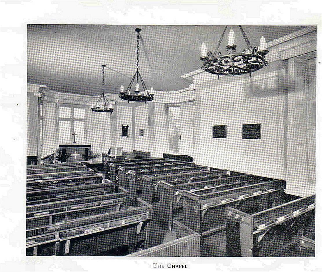
Seafield park
The chapel interior

Seafield Park
The Classrooms

Seafield Park
A Classroom

Seafield Park
The Main school buildings

Seafield Park
Main school buildings from the Cricket pitch
SP P3

Seafield Park
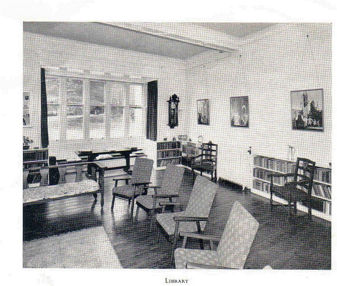
The library

Seafield park
The main Classroom